MAPC
Smart Growth & Regional Collaboration
Innovation and technology development for data-driven decisions across our region.
The Digital Services Group at MAPC is the first in-house digital team housed within a regional planning agency in the nation. Our innovative team supports MAPC departments and municipal partners by designing and building digital tools to conduct more effective, efficient, and equitable planning and governance.
We take an open, equitable, and data-driven approach to everything we do, and focus on products that can have direct application in decision-making processes. Our human-centered design methods produce technology to make complex information understandable and accessible to a wide variety of audiences.
Open Source Contributions
Want to contribute to our open source projects? Visit our codebase here: github.com/mapc
RECENT WORK:
GENERAL QUESTIONS?
For more information about MAPC's Digital Services work, contact Stephen Larrick, Digital Services Manager, at [email protected].
Living Little
What types of small housing might be well-suited for Greater Boston's suburban communities? Explore example layouts, case studies, communications materials, and more. Visit https://living-little.mapc.org.
Housing Submarkets
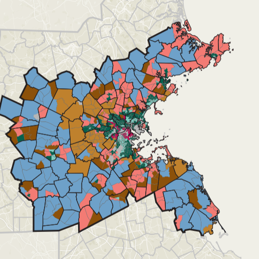
A deep dive into the seven housing submarkets of Greater Boston.
Visit https:///housing-submarkets.mapc.org.
Zoning Atlas
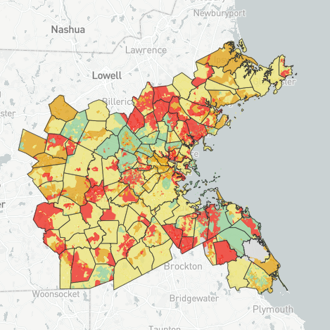
MAPC's collaborative inventory and interpretation of municipal zoning data in Massachusetts. Visit https://zoningatlas.mapc.org.
First Miles
Explore 18 months of rides on Lime, the dockless bike share system that serves 16 cities and towns in Greater Boston.
Visit mapc.ma/firstmiles.
Perfect Fit Parking
Overnight residential parking data from nearly 200 apartment and condo buildings throughout Metro Boston.
DataCommon
One-stop shop to explore and download MAPC's datasets. Use Community Profiles to get quick numbers on any town in MA.
Visit datacommon.mapc.org.
Developed by Digital Services at MAPC in collaboration with the Boston Indicators Project
TRAILMAP
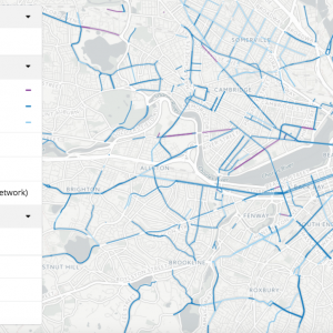
Explore a comprehensive network of foot trails and bike paths across Massachusetts.
Visit TrailMap
Trailmap includes data about current and proposed trails and paths, using data from MassDOT, DCR, cities and towns, advocacy organizations, and MAPC’s own field research.
Developed by MAPC Digital Services and MAPC Transportation Department
Housing Metro Boston
Learn about a landmark regional housing production commitment and browse a menu of hundreds of housing strategies.
Visit housingtaskforce.mapc.org.
Developed by Digital Services and the Housing division of MAPC at the request of the Metropolitan Mayors Coalition
MASSBUILDS
Explore real estate development across the Commonwealth
Visit massbuilds.com
Developed by Digital Services and the Research Working Group with support from the Barr Foundation
STATE OF EQUITY POLICY AGENDA
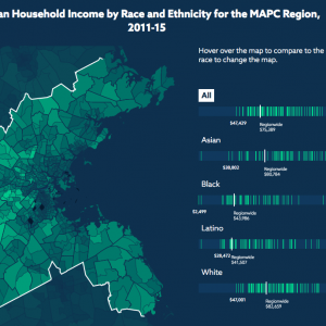
Learn about MAPC's draft policy agenda on equity topics in our region.
Visit equityagenda.mapc.org
In 2017, Digital Services collaborated with Government Affairs and an external advisory committee to develop the interactive State of Equity Policy Agenda.
Developed by Digital Services with the Government Affairs Division at MAPC.
YOUTH JOBS PLATFORM
Connecting Boston's youth to summer jobs
Visit youthjobs.mapc.org
In 2015, a team of government data and technology experts from MAPC and the City of Bostonformed the Boston branch of the Civic Tech Data Collaborative (CTDC) to tackle the design of a more accessible youth employment system. The result is an open source Youth Jobs Platform that has already had measurable impact on Boston’s youth employment experience.
Developed by Digital Services with the City of Boston Division of Youth Employment and Engagement
Tstation.info
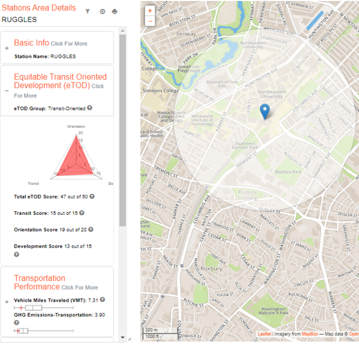
Get detailed data about every transit station area in Eastern Massachusetts
Visit www.tstation.info.
This site provides easy access to demographic, economic, transportation, and development information for over 300 existing and planned MBTA transit station areas. Users can also learn about MAPC’s transit station area typology and the Equitable Transit Oriented Development rating system.
Developed by MAPC Data Services and the Dukakis Center at Northeastern University
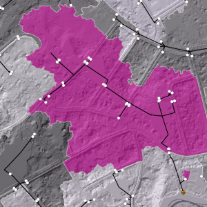
STORMWATER OUTFALL CATCHMENT ARCGIS TOOLBOX
Calculate stormwater outfall catchment
github.com/MAPC/stormwater-toolkit
An ArcGIS toolbox for meeting a new mapping requirement for the EPA’s MS4 Stormwater Permit. The new MS4 stormwater permit will require municipalities to map the land area that contributes stormwater to each outfall. MAPC has created some tools to help. Download the toolkit and the user guide here
Developed by Analytical Services at MAPC.
MY SCHOOL COMMUTE SURVEY TOOL
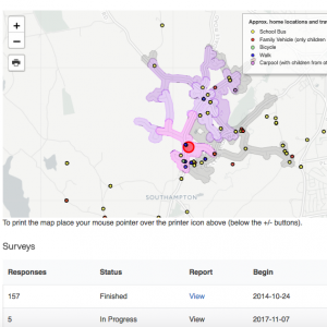
Collect and measure school commute choices for MassDOT's Safe Routes to School Program
Visit the Safe Routes to School Survey Tool
MAPC developed a survey platform for measuring mode choice of families who travel to and from schools. The tool helps MassRIDES measure and evaluate the impact of Safe Routes to School interventions.
Developed by Digital Services and MassDOT
FIX OUR PIPES REPORT
Explore an interactive report on natural gas leaks
Visit fixourpipes.org
Natural gas leaks requires better coordination between utility companies and municipalities during street construction.
Developed by Digital Services, the Clean Energy Department and advocacy organization, HEET
LOCAL ACCESS SCORE
Find the most useful possible connections between residents and local destinations
Visit localaccess.mapc.org
Communities across Massachusetts are looking for ways to make walking and biking a safer, healthier, and more convenient way to get around. MAPC’s Local Access Score site indicates how useful a particular street segment is for connecting residents with schools, shops, restaurants, parks, and transit stations.


