Open Data
Make informed decisions
The Data Services department creates custom datasets and compiles administrative data to inform analysis and shape the future of our region.
Accurate, relevant, and timely data are critical to informed decision-making. In order to expand the use of data in decision-making, MAPC works to create new sources of information about the region to shed light on critical issues. This process takes a variety of forms: we compile and standardize administrative datasets from cities and towns to create useful region-wide mosaics of local conditions; we use surveys and crowdsourcing to collect information from individuals; or we harvest and process unstructured data from the web to create new real-time information flows.
Many of our data development efforts are intended to capture the "most wanted" datasets identified in MAPC's regional plan MetroFuture, or are prompted by the needs of our partners and clients seeking information to help guide their programs and evaluate the success of their efforts.
MAPC is a government research organization. It’s many research studies and publications are widely relied upon by lawmakers and other research organizations.
JUMP-TO SECTION
Recently Updated Datasets
Questions?
If you are interested in seeing whether MAPC can help you round up one of your most-wanted datasets, contact:
Jessie Partridge Guerrero
Interim Director of Data Services
[email protected]
Tools
MAPC data tools
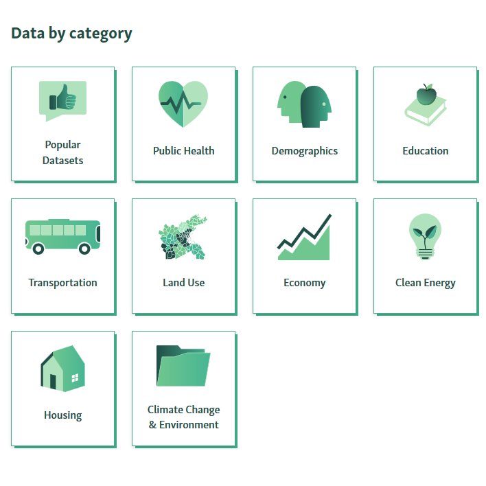
Explore hundreds of MAPC's tabular datasets on the economy, demographics, education, environment, energy, housing, land use, public health, regional indicators, public safety, transportation and civic vitality.
MAPC Data Common
One-stop shop to explore and download MAPC's datasets. Use Community Profiles to get quick numbers on any town in Massachusetts.
MassBuilds
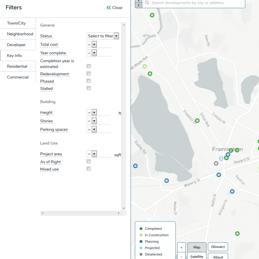
Explore and download the most comprehensive database of proposed, current, and future real estate development.
Local Access Score
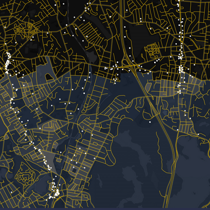
Use this index to prioritize sidewalk and bike route improvements on the most useful connections between residents and important local destinations.
DATASETS
TRANSPORTATION
MAPC seeks to improve transportation planning by providing access to information on automobiles, alternate modes of transit and auto-related emissions data.
All of the publicly available data files are linked below.
MAPC recommends that users begin with the Statewide Summary file (which has data for the entire Commonwealth for the entire study period) or the Municipal Summary Sample for May 2014.
More advanced users can download the full time period dataset for all geographies, or the complete anonymized microdata. All downloads contain technical documentation and terms of use specifying how the data may be used. Each link will direct you to a page where you will be asked to provide your name and contact information before downloading the data.
Click here to download the Technical Documentation for the Massachusetts Vehicle Census.
The Massachusetts Vehicle Census was created by the Metropolitan Area Planning Council, in partnership with the Massachusetts Registry of Motor Vehicles, with assistance from Central Transportation Planning Staff and Yale University, and with the generous support of the Barr Foundation. Please send direct questions, feedback, or requests for researcher-level data access to Senior Land Use and Transportation Analyst Conor Gately at [email protected].
| Dataset | Download zip file with data and documentation |
|---|---|
| Statewide Summary 2009-2014 |
DataCommon link for data and metadata |
| Municipal Summary 2009-2014 |
DataCommon link for data and metadata |
| Census 2010 Tracts Summary 2009-2014 |
DataCommon link for data and metadata |
| Census 2010 Block Groups Summary 2009-2014 |
DataCommon link for data and metadata |
| 250m Grid Cells 2009-14 (zip >200MB; Data >1GB) |
Data and metadata: trans_mavc_public_summary_250m_grid.zip Metadata only: trans_mavc_public_summary_250m_grid_meta.xls |
| 250m Grid Cells Sample time period May 2014 |
Data and metadata: trans_mavc_public_summary_2014_q2_250m_grid.zip Metadata only: trans_mavc_public_summary_2014_q2_250m_grid_meta.xls |
| Smoothed 250m Grid Cells Sample time period May 2014 |
Data and metadata: trans_mavc_public_summary_smooth_250m_grid.zip Metadata only: trans_mavc_public_summary_smooth_250m_grid_meta.xls |
| Anonymized Record Level Microdata 2009-14 (zip >1GB; Data >7GB) |
Data and metadata: trans_mavc_public_microdata.zip Metadata only: trans_mavc_public_microdata_meta.xls |
DATASETS
Housing & Economic Development
MAPC's data analysts develop new, reliable datasets on economic and housing growth in Boston's metropolitan region.
datasets
Climate and clean energy
Explore datasets relevant to making better municipal decisions around climate change, sea level rise and clean energy policy areas.
datasets
Food Systems
Explore datasets that include information on SNAP benefits and local food access issues.
DATASETS
reference data
MAPC manages and maintains datasets from federal, state, and local administrative data sources.


