Ashland Park Connections

Overview
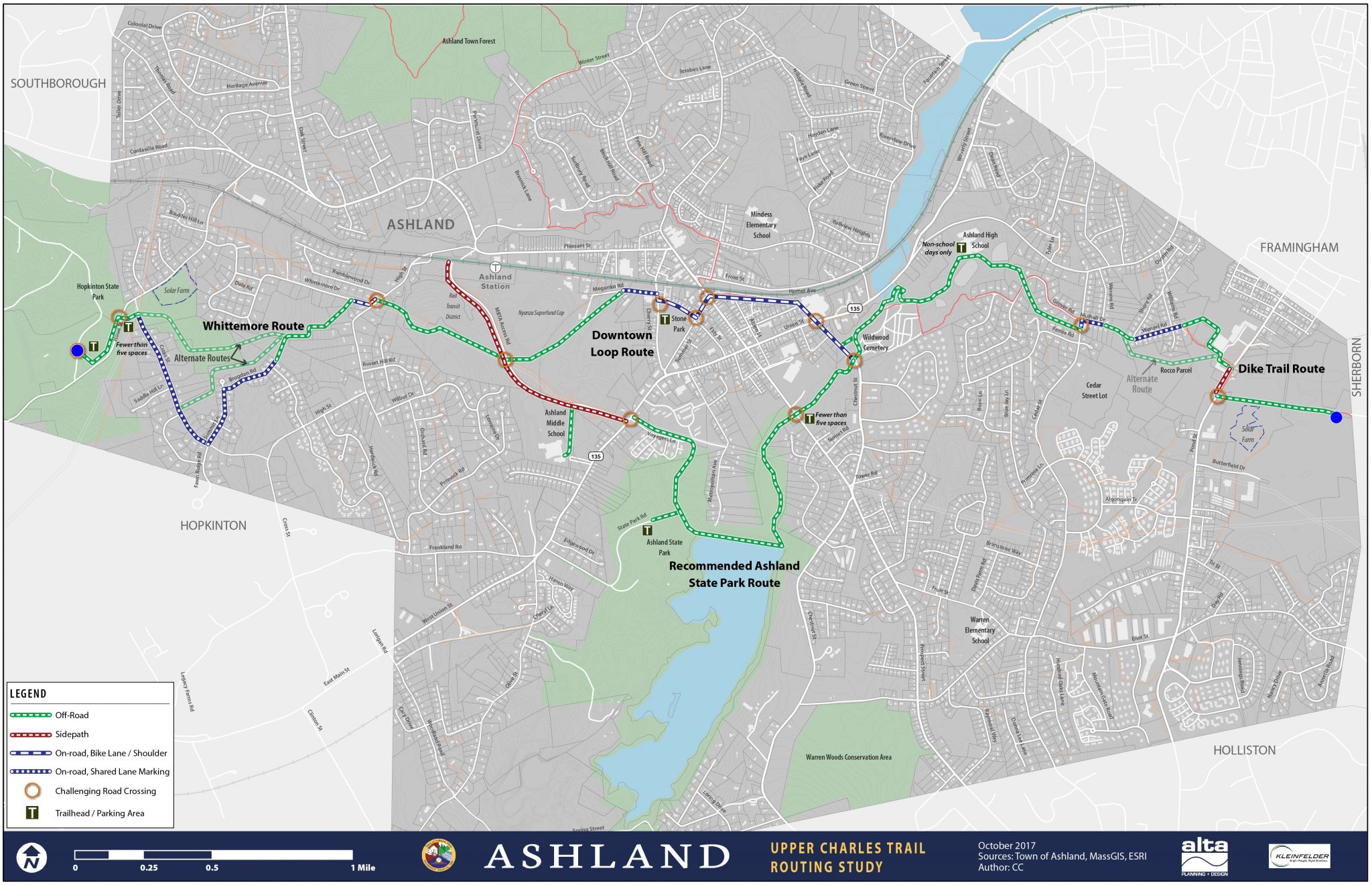
This project seeks to connect the proposed Upper Charles Trail through Hopkinton State Park to the Southborough commuter rail station. The Town of Ashland has recently completed the “Upper Charles Trail Routing Study” of which proposes a multi-use path from the Sherborn Line west to Hopkinton State Park.
Status
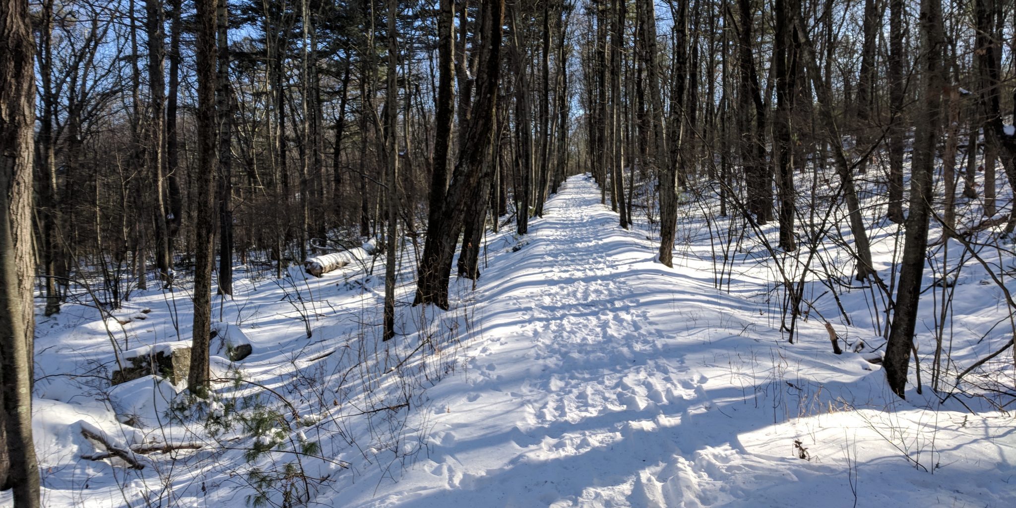
A site visit in Dec 2017 established a preferred route on a well graded roadway labeled as Aikens Rd (see photo above) The route includes state park land, fish and wildlife land, and a private parcel with a conservation restriction on much of the property. DCR is investigating the potential for allowing public access on these parcels.

Partners


Details
Section 1 – Ashland Upper Charles Trail Study
In 2017, the Town commissioned a study to identify potential alignments of the Upper Charles Trail through the town from Sherborn to the Hopkinton State Park border. The map below shows the recommended alignment, and a few alternatives where parcel access is questionable. In 2018, DCR received funding to replace and widen a footbridge over the spillway at Ashland State Park. This MAPC study focuses on a route through Hopkinton State Park to the Southborough MBTA station.
Section 2 – Hopkinton State Park
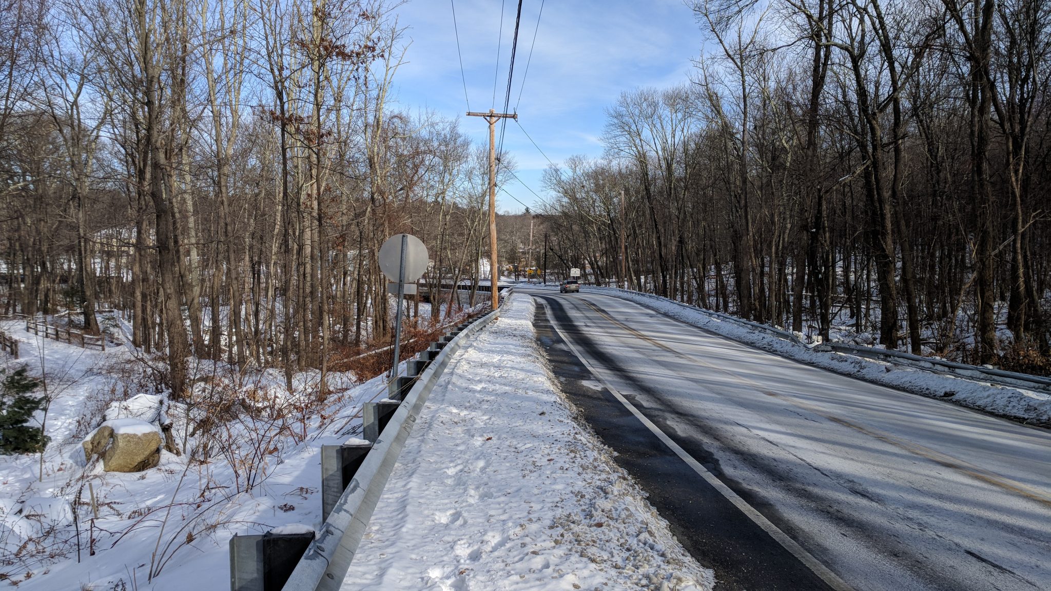
The recommended corridor begins at Howe St near the intersection of Cross St. An overgrown trail that appears to be an old road connects west to the main park road. It is proposed to clear the trail and provide an accessible surface. The corridor would then follow the main state park road until the intersection of Atkins Rd. Short term solutions involve sharing the road, with potential for a proposed sidepath along but separated from the road to provide continuous trail connectivity.
