
Framingham Greenway Corridor Feasibility Study
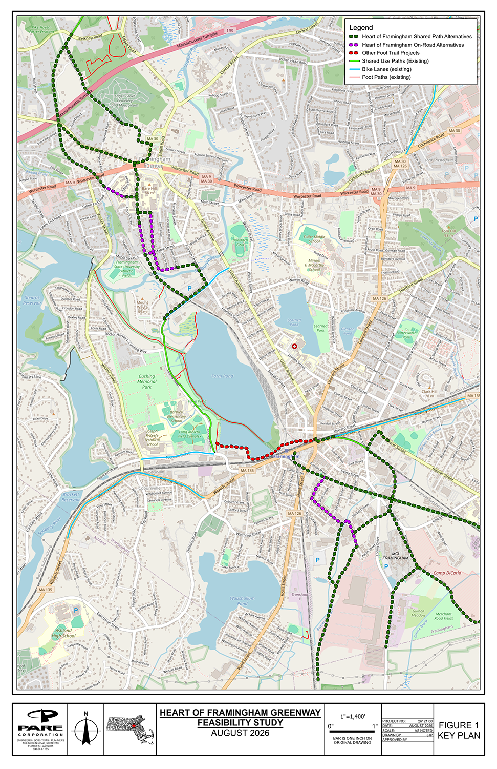
Creating a plan for a north/south greenway throughout the city connecting the Bruce Freeman Rail Trail to the North, Downtown Framingham, the Upper Charles Trail to the south and points in between.
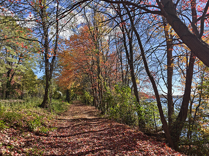
Photo Credit: MAPC
The Metropolitan Area Planning Council (MAPC), in partnership with the City of Framingham, is working to connect the Bruce Freeman Rail Trail and the Upper Charles Trail through the City. This corridor will connect Downtown Framingham, Framingham State University, Cushing Park, the MBTA commuter rail station and other key locations.
We are broadly defining a “greenway” as a corridor for walking, cycling, and rolling that is physically separated from motor vehicles. By “rolling,” we refer to other types of personal wheeled mobility beyond bicycling which includes, but is not limited to, wheelchairs, walkers, scooters, and skateboards.
The City is currently designing Phase 1 of the Bruce Freeman Rail Trail, currently scheduled for construction in 2029. The City is also designing the Chris Walsh Trail adjacent to downtown and Farm Pond.
MAPC hired Pare Engineering Corp in the Spring of 2026 to conduct the feasibility study for this project. The scope includes development and analysis of two to three alternative alignments throughout the corridor. Each alternative will be scored with a recommended alignment as an outcome.
The next step in this process are:
Summer 2026
Identify and map the various alternatives identified by key stakeholders, the City, MAPC and the consultant. Prepare an existing conditions report.
Fall 2026
Refine the alternatives to no more than 3 in each segment. Begin analysis of each segment for potential feasibility.
Winter 2026
Community engagement, and scoring of each segment
Spring 2027
Recommend a preferred alignment, and cost estimates
This webpage will have updates as the study and design progresses.
Background
Framingham is the largest city in the MetroWest region, with a population of about 73,000 people. It is the 14th largest city in Massachusetts. It has significant environmental justice communities.
Significant regional trails in the area include the Bruce Freeman to the north in Sudbury, Upper Charles Trail to the south in Sherborn, and two aqueduct trails that enter Framingham. This project will be designed as a north/south spine greenway that will connect all of the above trails.
The East Coast Greenway is planned to use this corridor when complete.
Related Projects and Resources
The following are links to other transportation projects and programs in the study area.
Landline
LandLine is MAPC's vision to connect our greenways and trails into a seamless network. The plan has been developed in coordination with the LandLine Coalition, a group of 40 volunteers representing a number of local agencies and advocacy groups.
Trailmap
Trailmap is MAPC’s comprehensive map of trails including hiking trails, bicycle facilities and share use paths. Community level summaries and data downloads are available through the link.