Landline: Our plan for a
connected greenway network
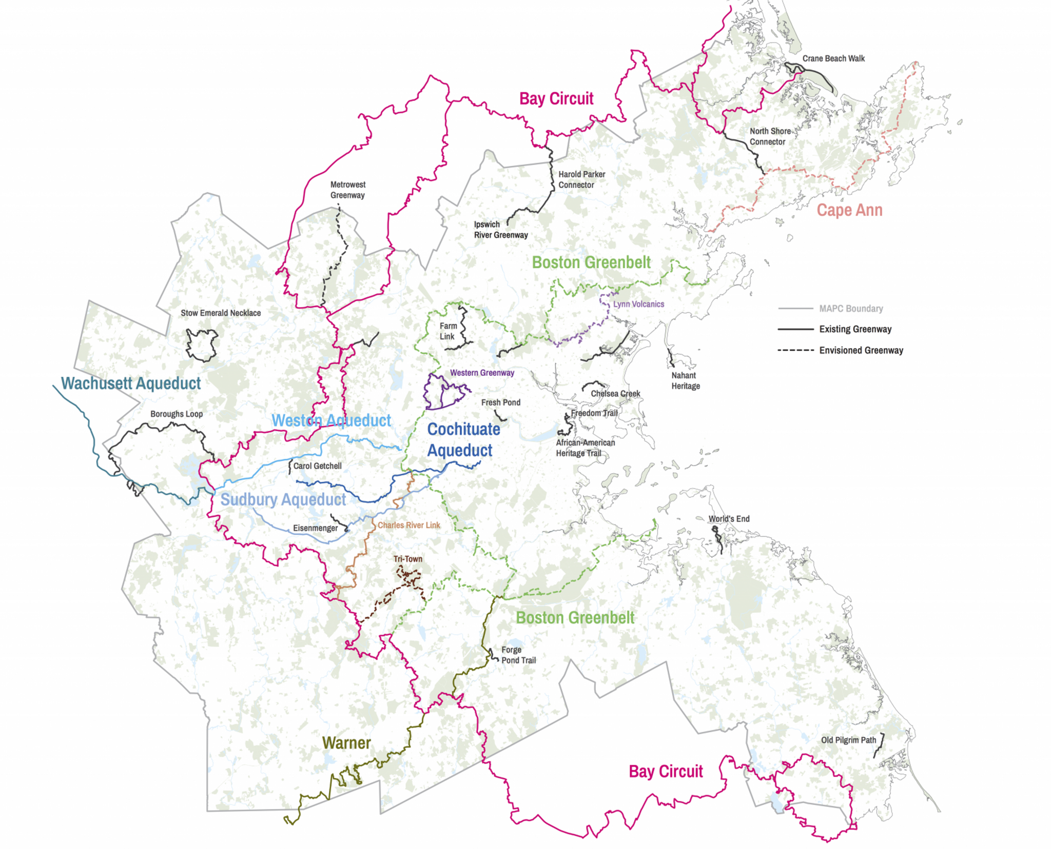
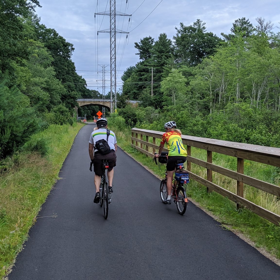
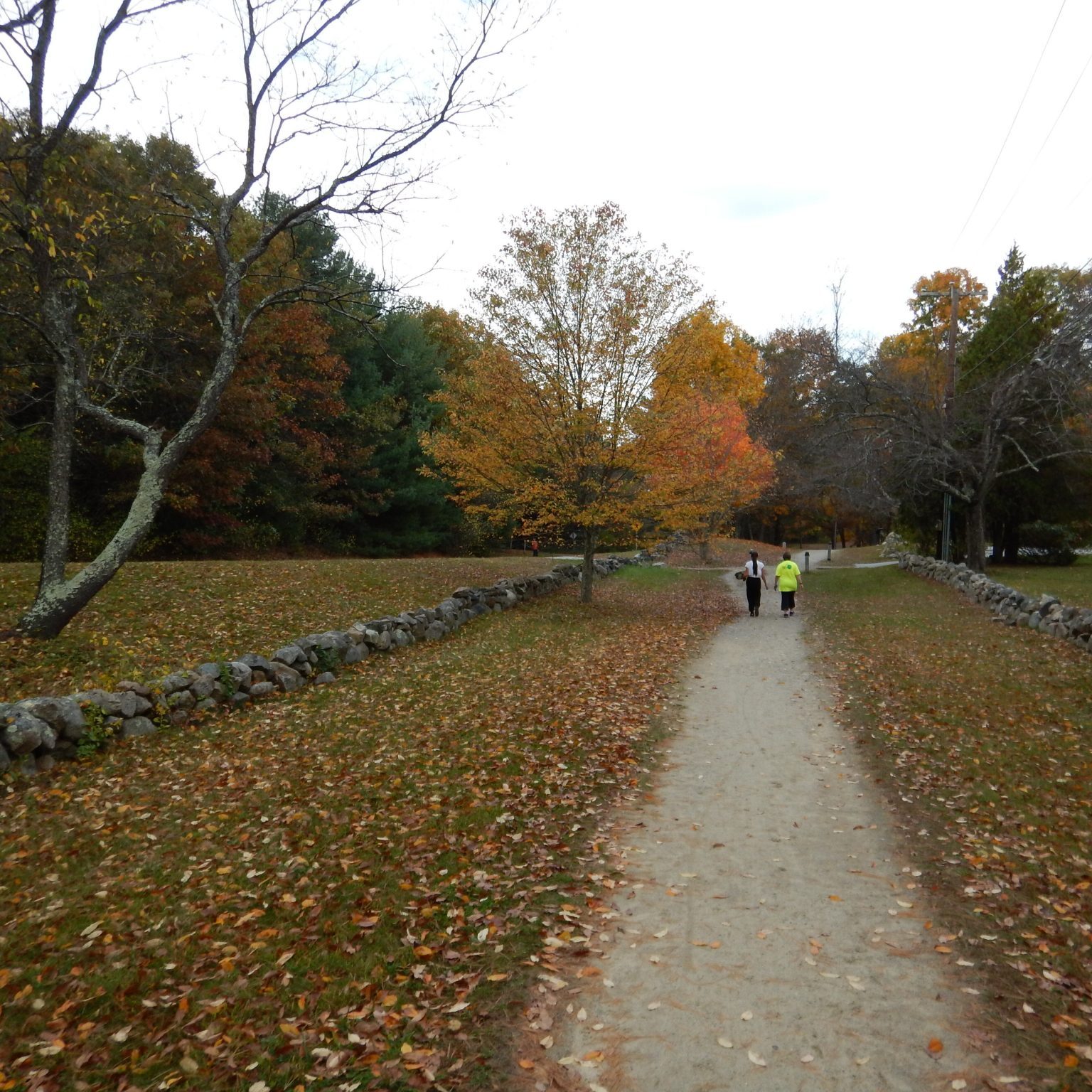
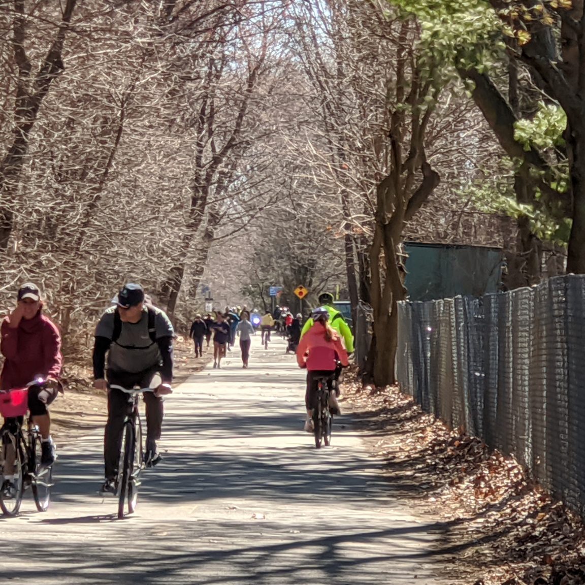
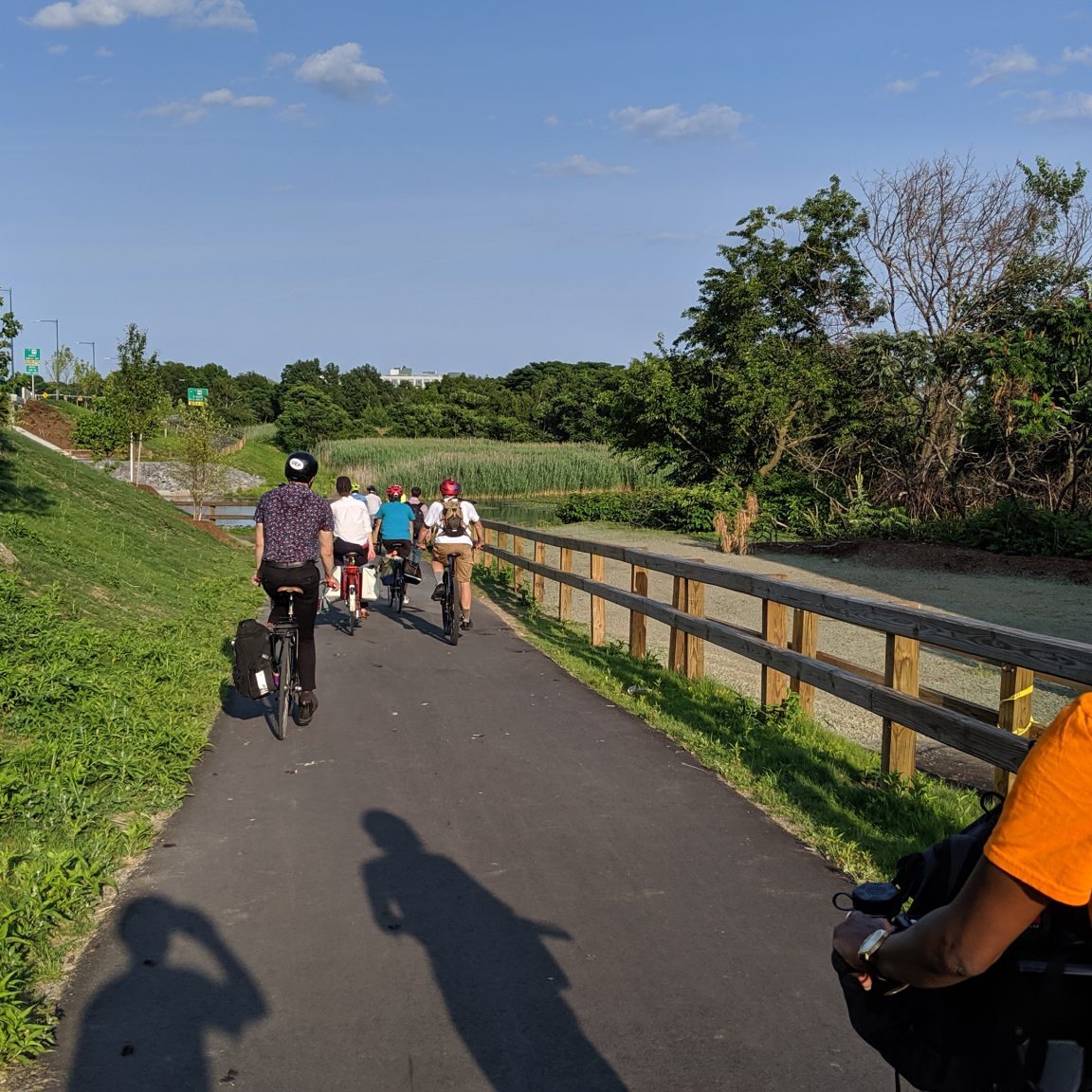
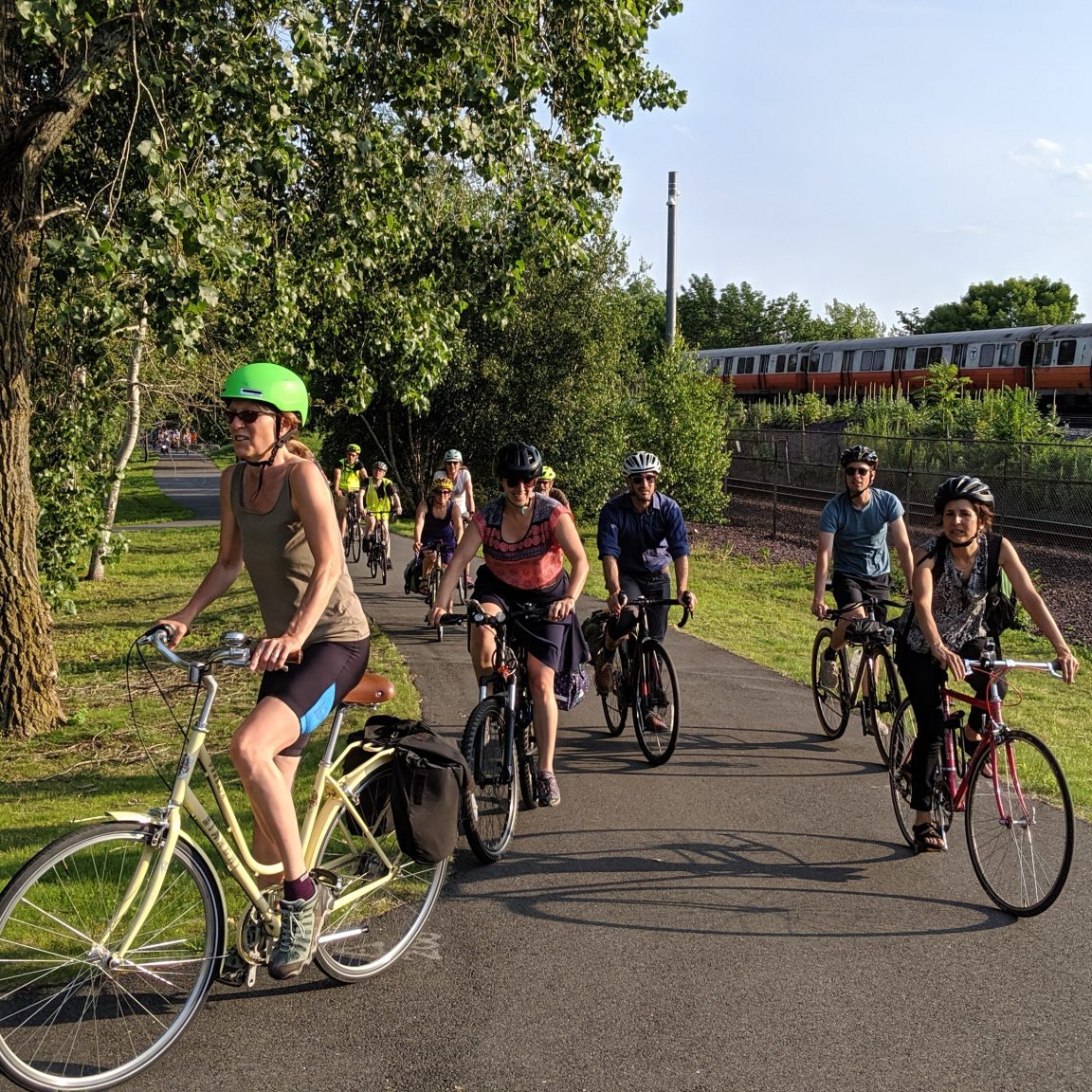
LandLine is MAPC's vision to connect our greenways and trails into a seamless network. The plan has been developed in coordination with the LandLine Coalition, a group of 40 volunteers representing a number of local agencies and advocacy groups.
In May 2018, MAPC unveiled the Landline Trail and Greenway Plan connecting 1,400 miles of trails and greenways throughout the Boston Region!
In 2021, MAPC released the first in a series of reports ranking Metro Boston municipalities on their trail, bikeway, and greenway inventories.
For more information on LandLine or to be added to the LandLine Coalition email list, contact David Loutzenheiser, Senior Transportation Planner.
Landline Network Plan
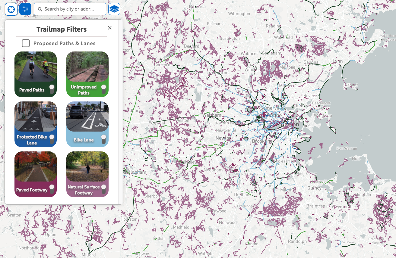
Trailmap: Metro Boston's Regional Walking & Cycling Map
The MAPC Trailmap is a comprehensive map of pedestrian and bicycle facilities throughout the MAPC region and beyond.
It features trails and paths accessible by foot, bike lanes, and multi-use paths. Members of the public can contribute additions to the map, so it acts as a living online resource, and local planners and advocates can download the data for projects in individual cities and towns.
Users can either view on their desktop or mobile device, and are able to drop a pin on the map to their current location for information on nearby trails and paths and other biking and walking infrastructure or amenities. It’s designed to be continually updated and refined, and used in real time by people throughout Eastern Massachusetts looking for transportation or recreational opportunities
Trails & Greenways
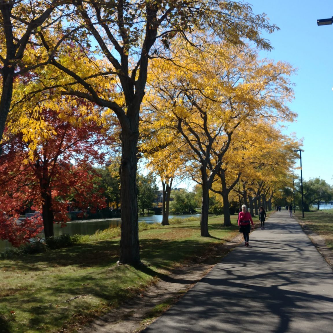
Paul Dudley White Bicycle Path
