MAPC
Promoting Smart Growth & Regional Planning
LANDLINE
Connecting people and places with an active trail network in Metro Boston
The Metropolitan Area Planning Council is proposing a 1,400-mile connected network of trails and greenways within the Boston region.
Landline Maps and Trails
2018 Summer Greenway Ride and Walk Series
Full Report PDF
The Boston region is fortunate to have abundant natural landscapes, vibrant cities, towns, and villages, multi-layered history, and a thriving economy. Yet transportation challenges in the region threaten to stifle economic growth, increase pollution, and create a less healthy environment.
Active transportation trips—made by walking and cycling—are growing in our region, as people seek a healthier lifestyle, save time commuting by ditching their car and traffic, and find they can get around the region faster (and less expensively!) than when driving.
To achieve the full potential of active transportation and all of its benefits, MAPC presents this visionary plan to connect our homes, jobs, parks, schools and natural resources.
Thankfully, Metro Boston already has a collection of popular trails which lay a great foundation for a true regional network. The 11-mile Minuteman Bikeway is one of the busiest rail trails in the country, unlocking access to the Alewife MBTA Station with millions of trips by bike and on foot every year. The Charles River Esplanade collection boasts paths on both sides of the river, from Boston to Waltham. And the Northern Strand Trail runs from Everett to Lynn, with the Border to Boston Trail extending farther north into New Hampshire.
vision
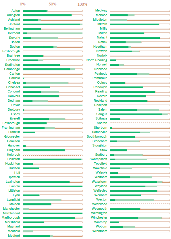
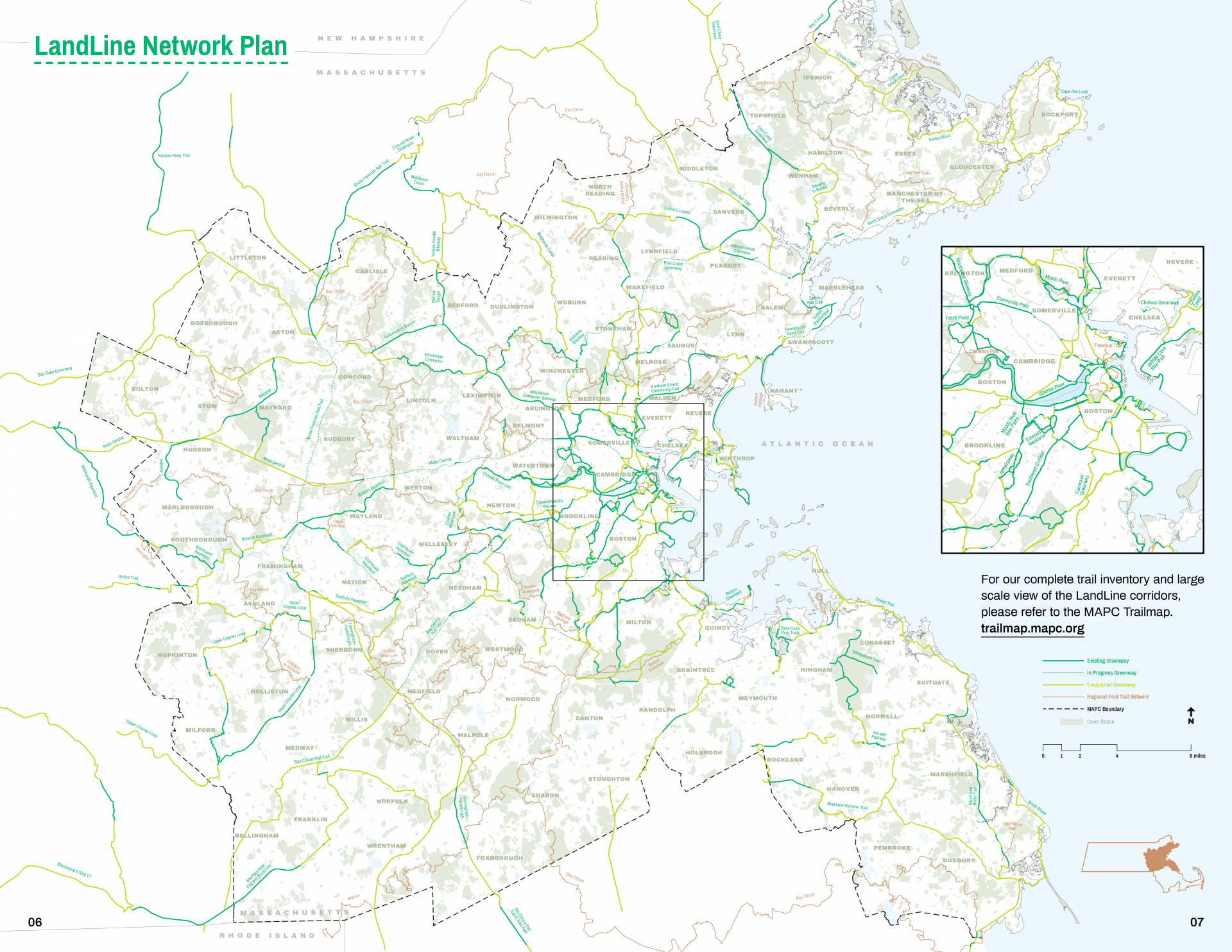
Unfortunately our most popular trails do not currently connect to each other. With this Vision, we outline a plan to not only make these connections but create a network of trails and greenways throughout the region. Currently 45% of the greenway network and 60% of the foot trail network is complete, providing a good foundation to move forward.
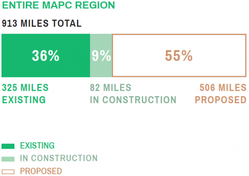
We are proposing 913 miles of greenways and 515 miles of foot trails across the MAPC region.
At buildout, the network we're proposing would bring trail access within a half mile of where three-quarters of the region's residents live—and 92% would be within one mile of the nearest trail or path. Through engaging with our existing and new partners, the LandLine network will continue to expand and evolve to be in close proximity to even more people.
Proposed

In Progress
Complete


Greenways
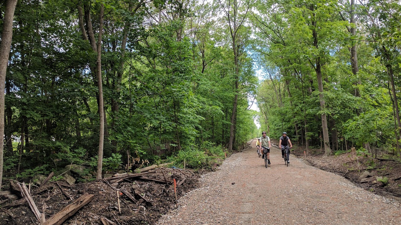
Greenways are the backbone of the network, providing a corridor of travel for the widest variety of users including pedestrians, cyclists, wheelchair and stroller users. The surface is firm and stable, wide enough to pass each other. The corridor is ideally on its own reservation (such as a rail trail), though when not possible, on low traffic streets, or protected bike lanes and sidewalks.

Foot Trails
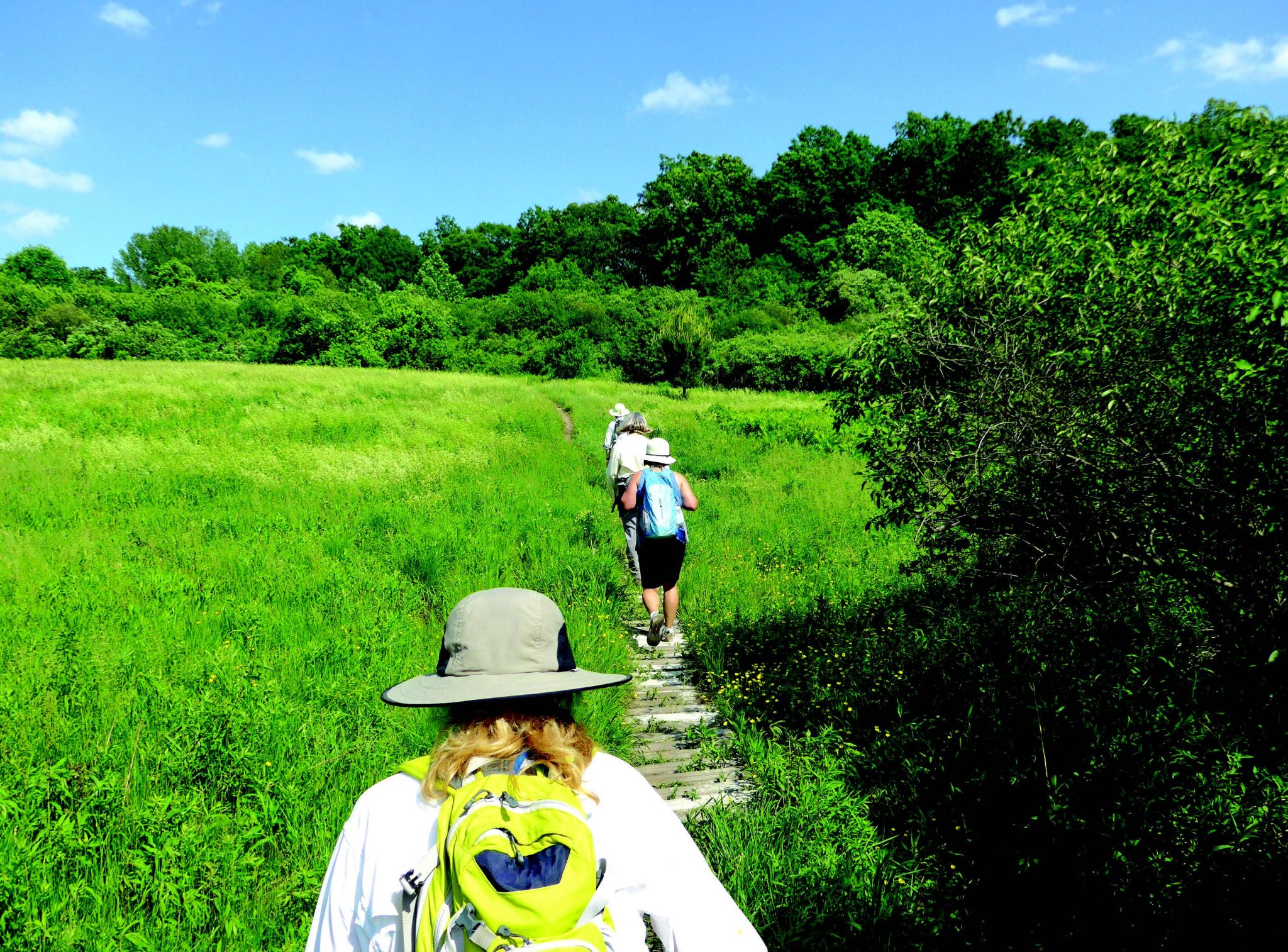
Foot trails are natural surface linear corridors, through natural surroundings where possible, particularly parks and conservation lands. Most are to be marked with wayfinding signs or blazes along the route. Foot trail designations will also be focused on helping preserve unprotected, undeveloped parcels.
Landline greenway status
Additional Terminology
Trail or Path is a broadly generic term used to describe a corridor that is separated from traffic on its own right of way and largely through a natural landscape. A trail may be restricted to certain types of users, or time of day, or may have no restrictions.
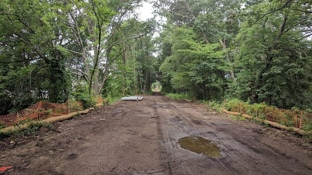
Rail Trail is a trail that runs along a former rail bed corridor. It may be fully engineered with a paved surface of asphalt or stone dust, or unimproved with a dirt or ballast path.
Bikeway is a term used at one point in time to qualify for funding construction of trails for transportation (such as the Minuteman Bikeway). However, bicyclists are just one of many users on these trails.
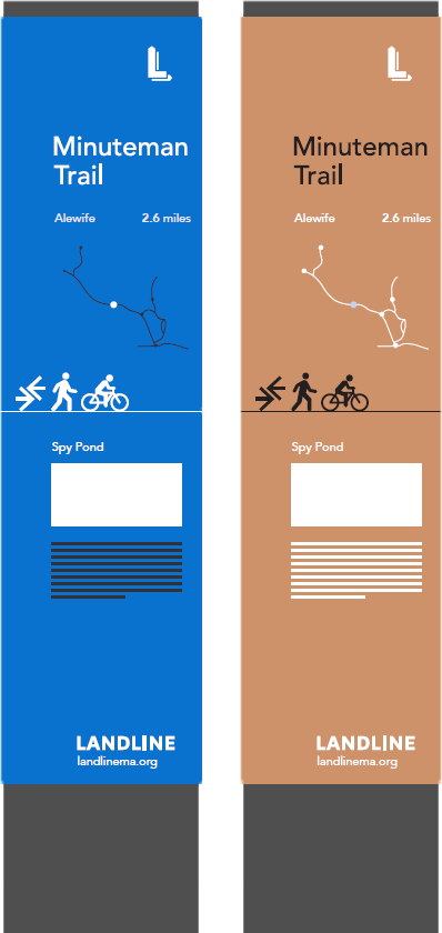
Develop a Consistent Standard for Signage and Wayfinding
The proposed greenway and trail corridors navigate a variety of routes including separated multi-use trails, local roads, on busy roads with bicycle lanes, and dirt trails. Route identification and wayfinding will be key to allow the user to easily travel along the corridors.
We are recommending a signage and wayfinding plan be created at the state level that creates consistent signage themes for our greenways statewide, while allowing individual trail identities to be preserved.
Key components of greenway wayfinding and signs shall include:
- A consistent color and design scheme for all greenway signs that is unique and easily identifiable
- Confirmation of the trail and/or location that the user is traveling on
- Directions to follow along the given route where turns are required particularly as the route follows a mix of streets and trails
- Distance and direction to key locations on or off the route (towns, train stations, villages)
Type 1 - Destination & Distance Info
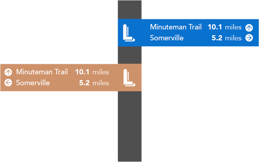
Type 2 - Specific Trail Info
Highlights
Emerald Network
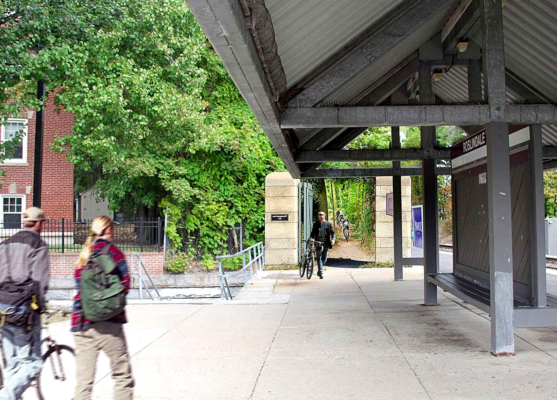
The Emerald Network is a LivableStreets Alliance initiative that envisions 200 miles of seamless greenways around Boston, from the Neponset River in the south to the Mystic River north of the city. The Emerald Network is contiguous with the LandLine network, with regular coordination between MAPC and LivableStreets. When completed, this system will connect every neighborhood to open space, transit, and jobs and thereby increase mobility, promote active recreation, reduce greenhouse gas emissions and enhance our city’s competitiveness in the global economy. LivableStreets is making progress toward the Emerald Network vision by increasing public awareness of the potential system and its benefits, targeting outreach to decision-makers and thought leaders, and working to advance specific greenway projects.

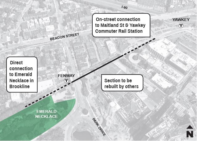
Mystic and Malden Rivers
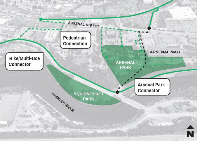
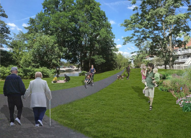
The Mystic Greenways Initiative will connect 20 miles of paths, improve hundreds of acres of parkland and engage thousands of community members from the Mystic Lakes to Boston Harbor. The Mystic River Watershed Association is leading this vision and creating a roadmap to transforming the paths and parklands along the Mystic River. This ambitious effort is made possible by partnerships with all types of stakeholders across the watershed. We are working collaboratively with the Massachusetts Department of Recreation and Conservation, other federal and state agencies, dozens of municipalities and many local community groups and citizens. There are 16 miles of trail completed, 3.5 miles designed and funded, and 3 more planned.


East Coast Greenway
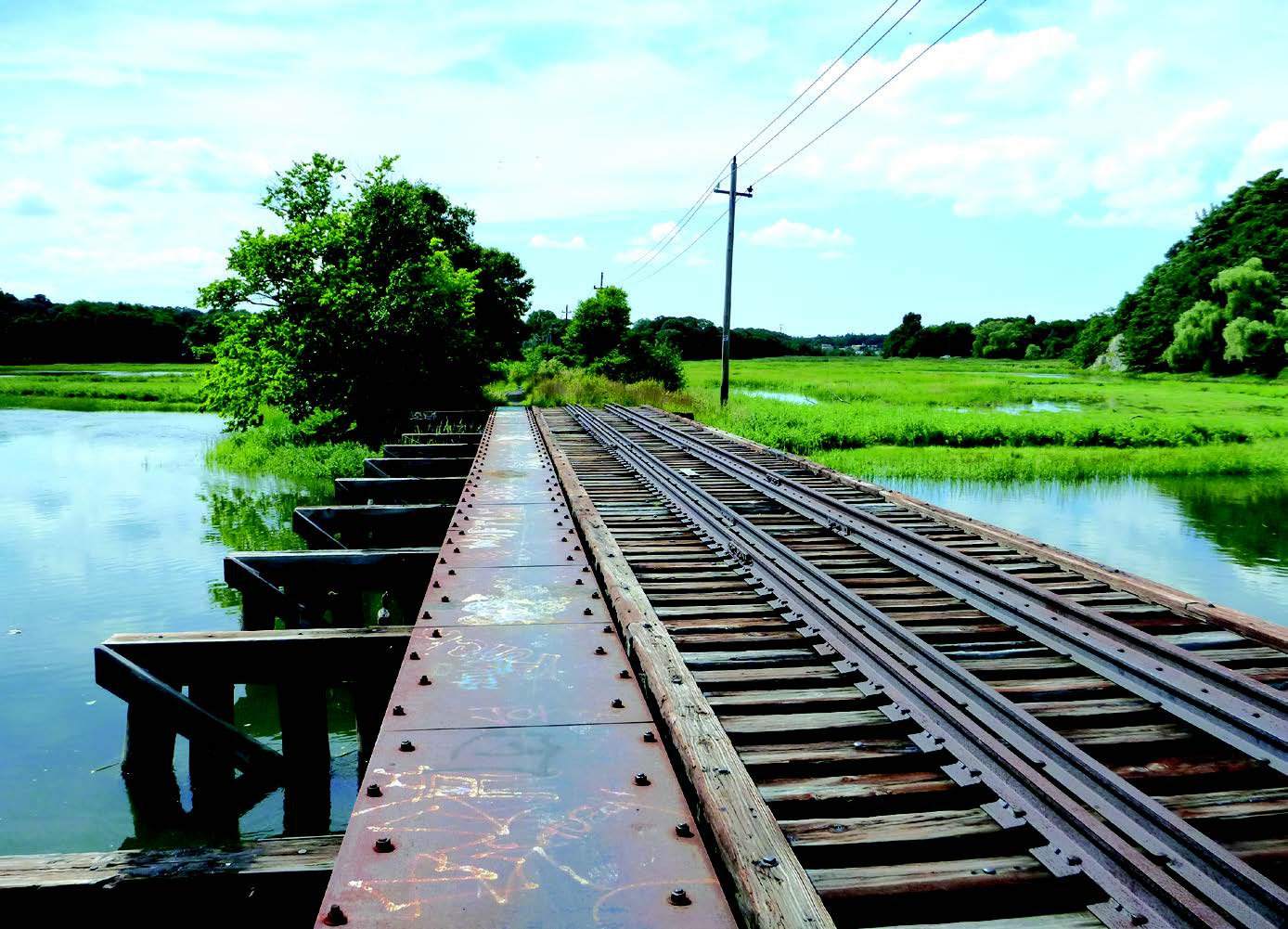
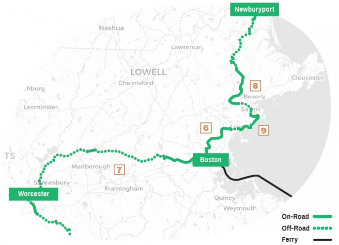
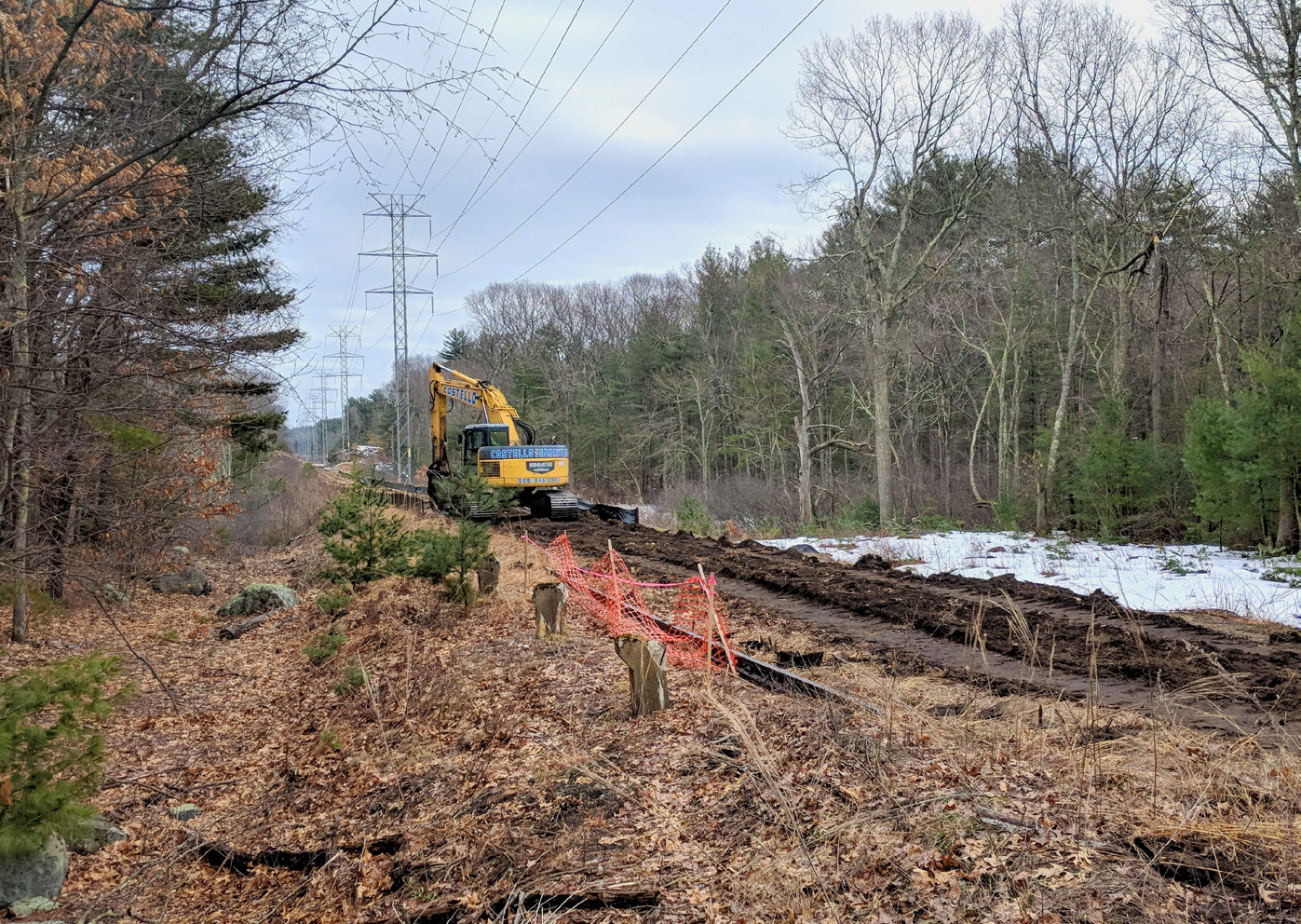
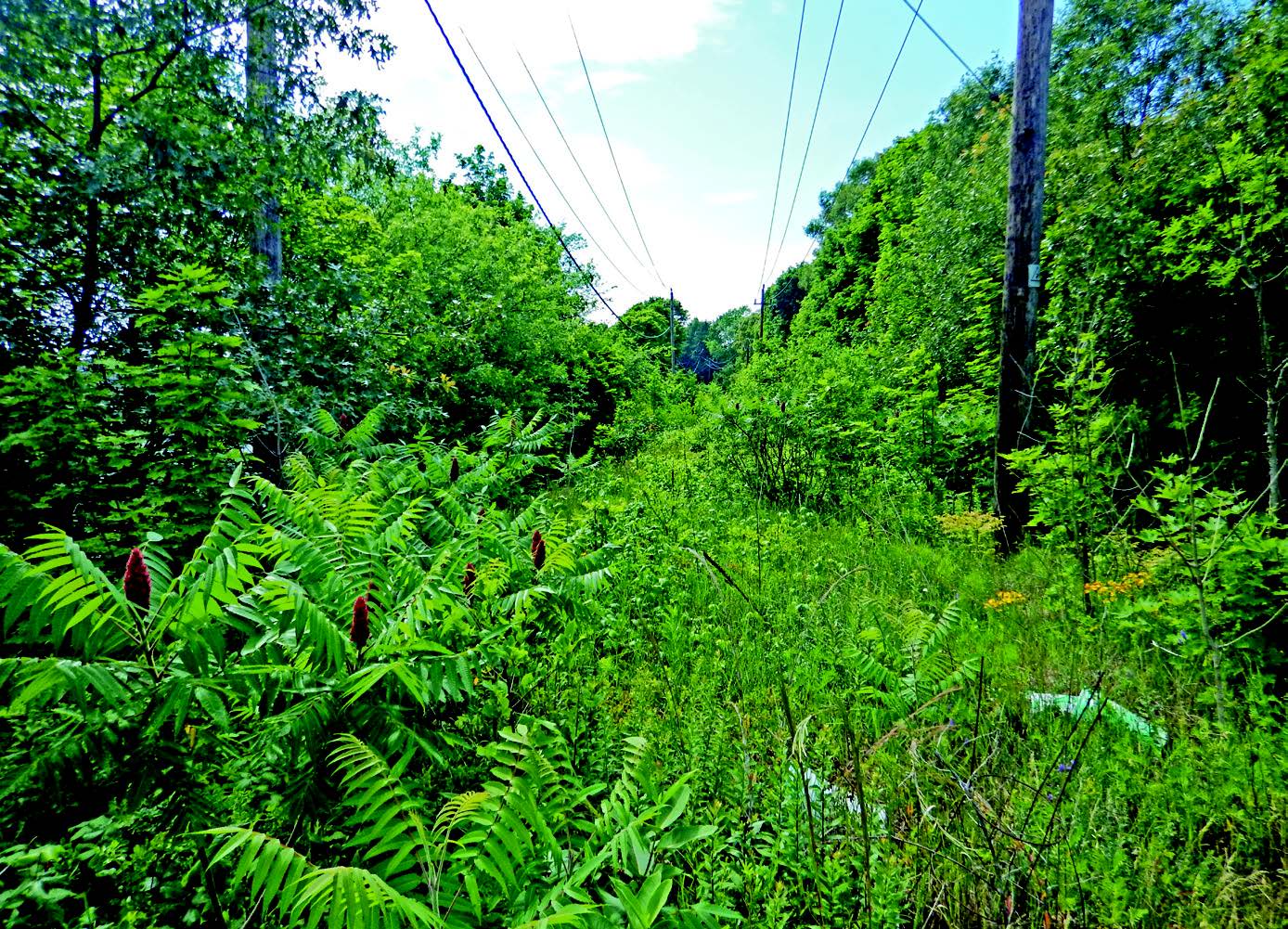
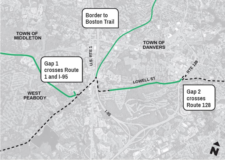
The East Coast Greenway will eventually become the nation’s longest connected off-road cycling and walking route, 3000 miles from Maine to Florida. Within the MAPC/LandLine region the Greenway follows the Border to Boston Trail, future Peabody Riverwalk, Salem Rail Trail, Northern Strand Trail, Paul Dudley White Bikeway, and the Mass Central Rail Trail.
Foot Trails
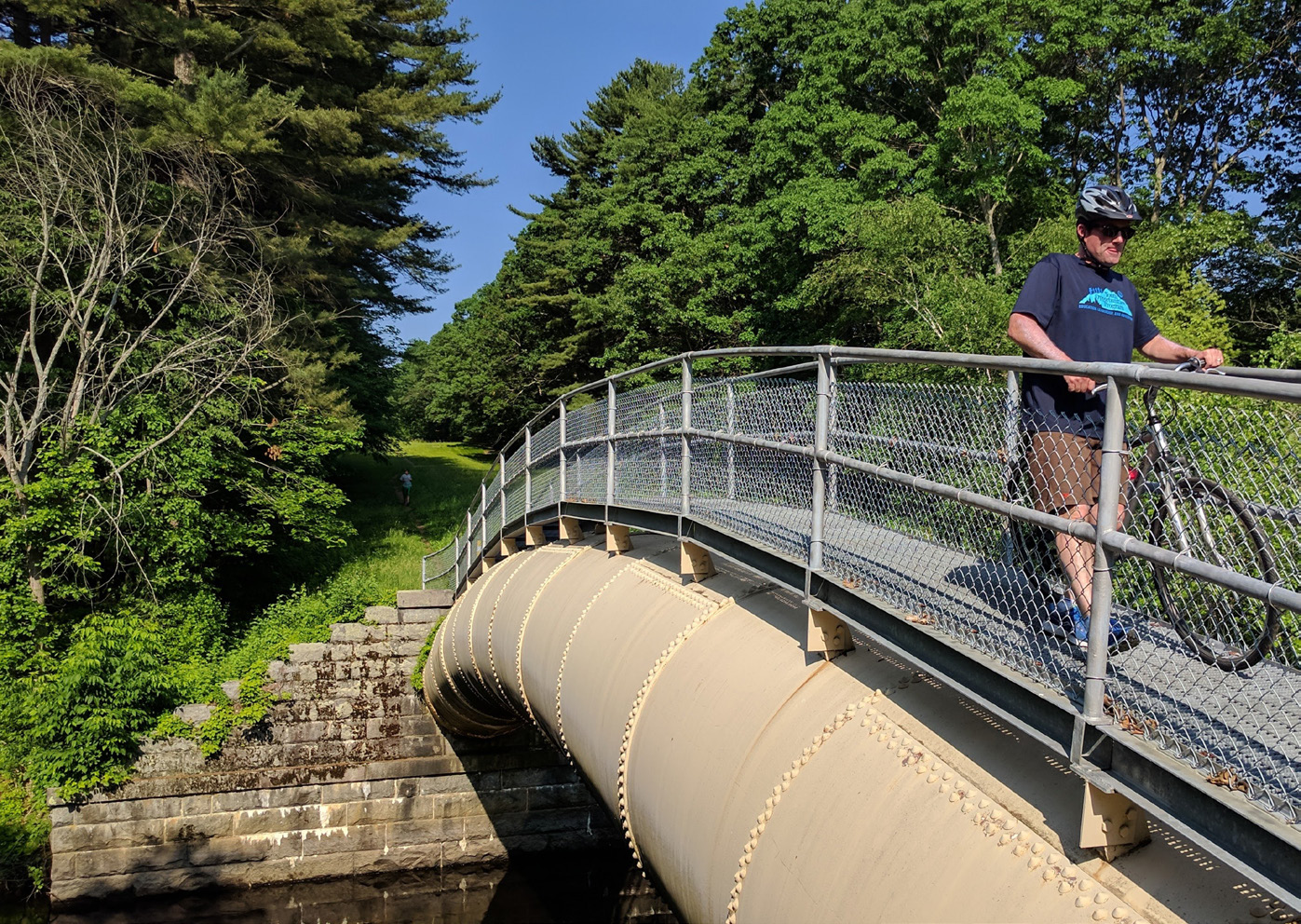
Along with the rail trails and paved river paths that form the backbone of our greenway system, the MAPC region has a wealth of natural and historical features, and an incredible diversity of preserved open space. Though the open space is often scattered and disconnected, they can be linked together to form extensive greenbelts of wildlife habitat, and linear foot trails.
The existing 230 mile Bay Circuit Trail circles the Boston region between Plum Island and Duxbury and forms the backbone for our proposed regional foot trail system. The Warner Trail and Charles River Link trails provide extensions toward Route 128 and the Charles River. Described below, the Aqueduct Trail network and the Boston Greenbelt trail are relatively new foot trail concepts that will connect our historic, cultural, and natural resources.
MAPC Regional Foot Trails

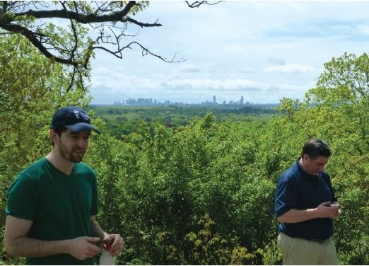
LandLine encompasses the entire region and MAPC is working with our partners to connect the gaps. These highlighted projects describe just a sample of the many efforts that MAPC is engaged with our supportive partners. These areas encapsulate how the LandLine Vision is becoming a reality.
Next steps
As individual municipalities advance segments of the LandLine in their community, MAPC stands ready to help with corridor level planning and identification of funding resources. MAPC is planning for the corridors to evolve and expand with further engagement at the local level. Under leadership from the Baker Administration, the state has increased funding for the design and construction of trails, and has begun a process to coordinate the trail planning conducted by the Massachusetts Department of Transportation, Executive Office of Energy and Environmental Affairs, and the Department Conservation and Recreation, into a new MassTrails initiative. This new state level program will help streamline the planning, design and funding process for municipalities seeking to build trails.
The LandLine Vision is one of the first completed elements of MAPC’s next region plan.
This vision for a connected greenway network can only happen with many involved partners. Our coalition of partners is constantly growing as we engage with more groups and individuals.
The LandLine Coalition’s monthly meetings serve as a way to engage our partners on a regular basis, along with regular MAPC projects. The following is a list of our key partners to date. Refer to mapc.org/landline for the most updated list.
To access our complete trail mapping database including locations of all trails, bicycle facilities (protected and roadway bike lanes), and the LandLine corridors, visit trailmap.mapc.org
partners & acknowledgements
Commonwealth of Massachusetts
Governor’s Office Massachusetts Trails Team
Executive Office of Environmental Affairs (EOEA)
Massachusetts Department of Transportation (MassDOT)
Massachusetts Water Resources Authority (MWRA)
Department of Conservation and Recreation (DCR)
Central Transportation Planning Staff (CTPS)/ Boston MPO
MAPC Region Cities and Towns
Arlington – Arlington Bicycle Advisory Committee
Boston – Boston GreenLinks
Brookline – Bicycle Advisory Committee
Cambridge – Cambridge Bicycle Advisory Committee
Dedham – Sustainability Advisory Committee
Lexington – ACROSS Lexington
Medford – Medford Bicycle Commission
Melrose – Melrose Pedestrian and Bicycle Advisory Committee
Newton – Bicycle Committee & Transportation Advisory Group
Salem – Bicycling Advisory Committee
Somerville – Somerville Bicycle Committee
Watertown – Bicycle and Pedestrian Committee
Organizations
Appalachian Mountain Club
Arborway Coalition
Bike to the Sea, Inc
Boston Cyclists Union
Charles River Conservancy
East Coast Greenway Alliance
Emerald Necklace Conservancy
Fairmount Greenway
Friends of the Blue Hills
Friends of the Community Path (Somerville)
The Friends of Mary Cummings Park
Friends of the Middlesex Fells Reservation
LivableStreets Alliance (Emerald Network)
Mass Central Rail Trail Coalition
Massachusetts Bicycle Coalition (Massbike)
MetroWest Regional Collaborative (MAPC subregion)
Mystic River Watershed Association (Greenways Program)
Neponset River Greenway Council
The Solomon Foundation
WalkBoston
Waltham Land Trust


