Metro Boston has a wealth of transportation options practically unheard of ten years ago, from ride-hailing and carsharing to bike share and scooters. Each of these new types of mobility provides not only new options for travelers, but also new sources of data that can help public agencies make better transportation investments and policy choices.
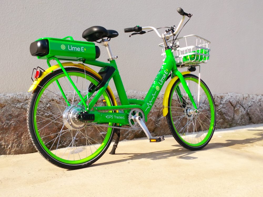
For the past 18 months, Lime has been operating a dockless bike share system in 16 cities and towns in the region’s Inner Core. During that time, users have taken over 300,000 trips, logging an estimated 380,000 miles.
MAPC mapped these trips, tracked patterns, and pinpointed the most-frequented routes in a new interactive report: First Miles.
The online mapping of routes will allow municipal staff, cycling advocates, and interested residents to select specific corridors and intersections and download detailed information for further analysis.

The information comes as a result of a data-sharing agreement between Lime and MAPC, which created the regional framework that allows Lime to operate in over a dozen communities in the Greater Boston region.
The unique data, which includes individual trip routes without tracking information about the habits of individual users, revealed that connections to transit were a relatively small share of Lime bike trips: only 15% of trips began or ended within 100 meters of a subway, trolley, Silver Line or Commuter Rail station.
Instead, many trips took place within communities, to and from points of interest, or between municipalities where transit connections are limited. City or town centers and commercial districts have the highest density of activity, but trips spread out into residential neighborhoods, which tend to be the end-point of trips more than the start. The average trip length was just over one mile and the highest frequency of trips took place between 4 p.m. and 7 p.m.
The data that the system produces about travel patterns can shed light on two important areas of interest: a) the role that dockless bike share and other forms of so-called “micromobility” might play at the periphery of Boston’s Inner Core, especially in terms of providing low-carbon alternatives to auto travel; and b) where transportation investments and infrastructure improvements are most needed to create safe conditions for bikers, whether they are using Lime bike, Bluebikes, or their own bicycle.
“This analysis shows how new forms of so-called ‘micro-mobility’ can be quickly adopted by all kinds of communities and serve a unique role in the transportation system,” said MAPC Transportation Director Eric Bourassa. “It also shows how important it is for public agencies to have access to detailed data that can inform planning and policy.”
Survey data indicate that the system is serving residents for whom biking may not have been their default option: according to one survey, more than half of Lime bike riders haven’t used their own bike in more than a month, or don’t own one at all.
"Greater Boston currently suffers from the worst traffic congestion in the nation, affecting everyone who lives, works or studies in the region. Yet while nearly 50% of trips in the region are less than four miles, people still overwhelmingly choose to drive," said Scott Mullen, Lime Director of Northeast Expansion. "MAPC's unprecedented analysis of data from our regional bike share system will enable cities and towns to prioritize safe, inviting infrastructure, which will entice people out of their cars for those short trips and help to ease congestion for all."
Lime bike riders face some tough conditions when riding around the region. Eighteen percent of miles travelled were on roadways we classify as “very-high-stress” roadways, with high traffic volumes, multiple lanes in each direction, and no protected bicycle facility. Examples include Revere Beach Parkway in Everett, Commercial Street in Malden, Washington Street in Newton, and Watertown’s Arsenal Street. In many cases, these roadways provide the only direct connection to important destinations. Retrofitting these roadways to fully serve bicyclists will be a challenging endeavor; however, the travel patterns observed here demonstrate how important it is to build facilities that will keep bicyclists safe, and to do it soon. The facilities are needed not just to encourage more people to bicycle, but to protect the people who already are biking in unpleasant if not dangerous conditions.
By providing new insight on micromobility and key bike connections, this report also demonstrates the importance of guaranteeing that public agencies have access to data from new mobility and sharing economy systems. With this information, public agencies can ensure that new technologies and modes contribute to a more sustainable, equitable, and convenient transportation system.
“We’re looking forward to using this new data resource as another piece of information to plan for new bike infrastructure that will make people feel safe and comfortable biking around Newton so they don’t feel the need to drive for every little trip,” said Nicole Freedman, director of transportation planning for the City of Newton.
